More info about principal lunar semi-diurnal constituent. Basically it is the tide that the Moon causes twice everyday. The tide can be larger or smaller due to other factors, e.g. varying distance between Moon and Earth, or when the Sun creates spring or neap tide.
So that’s how places like Mont Saint-Michel and Labrador become notable for their tides. I didn’t know about Northwestern Australia, though. And I have been to the one at the northern portion of the Sea Of Cortez.
It was quite a sight and outta sight, we were camping at the beach in Puertecitos, about a three or four hour drive south of Mexicali. The sands were dark and it was a New Moon night, pitch-black all around including the ground as I walked seaward during low tide, everyone else was already asleep. It was a little bit scary but I pushed on. My eyes had lost the horizon in a completely flat landscape, except for a barely perceptible ghostly sea glow from afar.
Quite unknowingly, step by accidental step and being at the exact time and place, I had stumbled into an extraordinary, disorienting and thrilling environment of sensory deprivation except for gravity.
What do the spidery white lines joining the minimums represent?
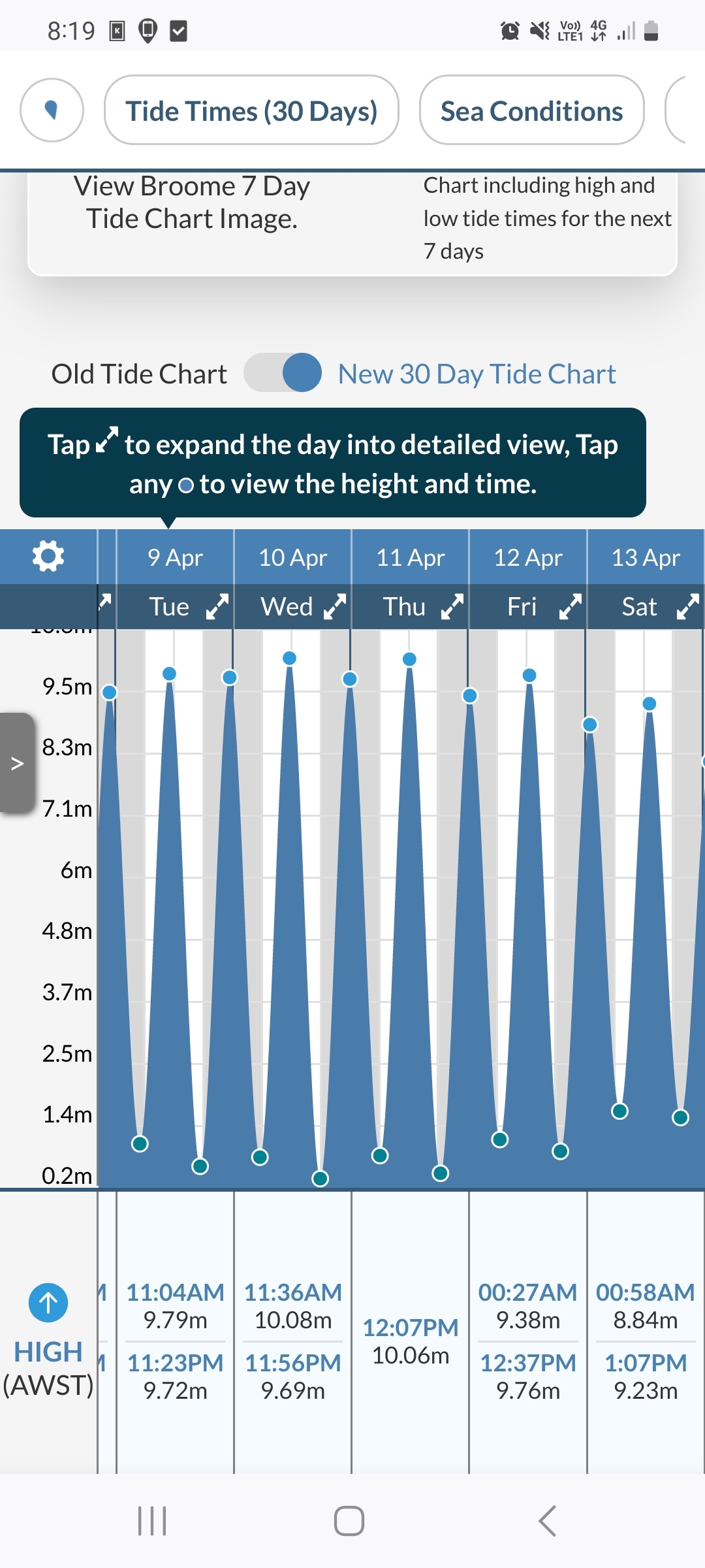
So how does it work that Broome in North West Australia has something like 12m tides?
120cm = 1.2m not 12
I know.
See image.

There’s other factors this is one component of the tide. The lunar tide can be magnified by the shape of the floor, like if there’s a shelf close to shore
Never seen a tie dye map before, neat!
Imagine a country with an ego so fragile, they have to cut Europe and Africa in half just to make themselves the centre of attention
It’s a map of the oceans, the pacific ocean is the center. The land is split for that reason
The Vanuatu are vacuous pricks indeed


